


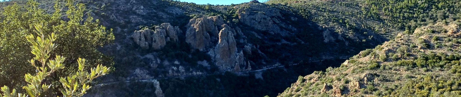
Mont Vinaigre depuis Colle Douce

donda
User GUIDE


5h30
Difficulty : Difficult

FREE GPS app for hiking
 SityTrail
IGN / Geographical institutes
SityTrail Plus
The world is yours!
About
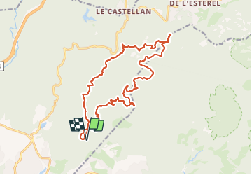
Trail Walking of 20 km to be discovered at Provence-Alpes-Côte d'Azur, Var, Fréjus. This trail is proposed by donda.
Description
Parking Colle douce - Col des Sacs - Cantine du Porfait - M.F.du Malpey - Mt Vinaigre - M.F de la Duchesse - Col de l'Aire de l'Olivier - Sommet de Malavalette - Col de l'Essuyadou - Carrefour de Roche Noire - Col des Sacs - retour au parking
Photos


Positioning
Comments