


Les zones inondables de Bernissem à Saint-Trond

Benjamin27
User GUIDE
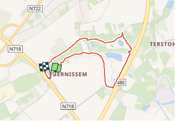

Length
3.7 km

Max alt
46 m

Uphill gradient
12 m
Km-Effort
3.8 km

Min alt
37 m

Downhill gradient
11 m
Boucle
Yes
Creation date :
2023-11-01 13:05:06.0
Updated on :
2024-06-08 17:04:43.803
50m
Difficulty : Easy

FREE GPS app for hiking
 SityTrail
IGN / Geographical institutes
SityTrail Plus
The world is yours!
About
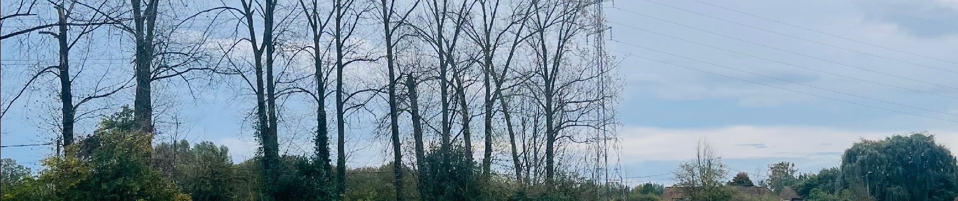
Trail Walking of 3.7 km to be discovered at Flanders, Limburg, Sint-Truiden. This trail is proposed by Benjamin27.
Photos

Positioning
Country:
Belgium
Region :
Flanders
Department/Province :
Limburg
Municipality :
Sint-Truiden
Location:
Sint-Truiden
Start:(Dec)
Start:(UTM)
656405 ; 5633704 (31U) N.
Comments