


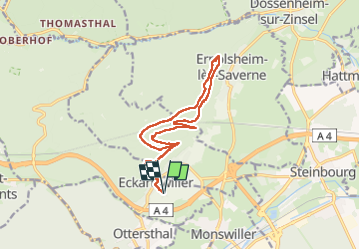
Saint-Michel & Daubenschlag

Claudele
User

Length
14.6 km

Max alt
423 m

Uphill gradient
431 m
Km-Effort
20 km

Min alt
243 m

Downhill gradient
431 m
Boucle
Yes
Creation date :
2023-10-21 08:16:51.085
Updated on :
2024-03-23 20:27:32.559
4h36
Difficulty : Very difficult

FREE GPS app for hiking
 SityTrail
IGN / Geographical institutes
SityTrail Plus
The world is yours!
About
Trail Walking of 14.6 km to be discovered at Grand Est, Bas-Rhin, Eckartswiller. This trail is proposed by Claudele.
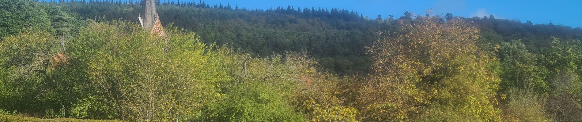
Photos


50 photos in total. Please click on a photo to see them all in the gallery.
Positioning
Country:
France
Region :
Grand Est
Department/Province :
Bas-Rhin
Municipality :
Eckartswiller
Location:
Unknown
Start:(Dec)
Start:(UTM)
379388 ; 5402546 (32U) N.
Comments