


Calanques, cirque des Pételins-08-11-2023

Christiancordin
User


Length
17.4 km

Max alt
528 m

Uphill gradient
892 m
Km-Effort
29 km

Min alt
192 m

Downhill gradient
893 m
Boucle
Yes
Creation date :
2023-11-08 08:15:11.362
Updated on :
2023-11-12 17:31:34.397
5h12
Difficulty : Difficult

FREE GPS app for hiking
 SityTrail
IGN / Geographical institutes
SityTrail Plus
The world is yours!
About
Trail Walking of 17.4 km to be discovered at Provence-Alpes-Côte d'Azur, Bouches-du-Rhône, Marseille. This trail is proposed by Christiancordin.
Description
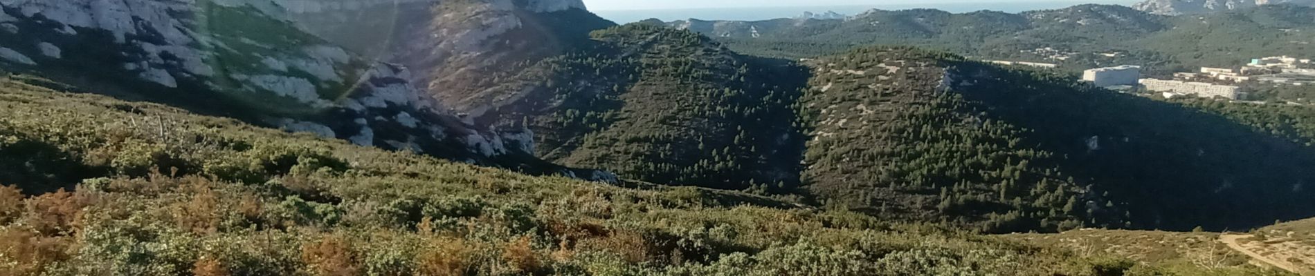
PK col de la Gineste, le pain de sucre, vallon de Chalabran, crête de l'Estret, cirque des Pételins, col de la fenêtre, cap Gros, puits de Cancel, col Ricard.
Photos


Positioning
Country:
France
Region :
Provence-Alpes-Côte d'Azur
Department/Province :
Bouches-du-Rhône
Municipality :
Marseille
Location:
9th Arrondissement
Start:(Dec)
Start:(UTM)
699495 ; 4790428 (31T) N.
Comments