


231108 Aizac

Rudy07
User

Length
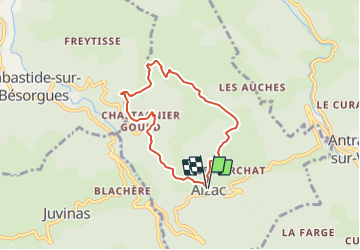
6.3 km

Max alt
948 m

Uphill gradient
334 m
Km-Effort
10.8 km

Min alt
642 m

Downhill gradient
333 m
Boucle
Yes
Creation date :
2023-11-08 13:15:02.583
Updated on :
2023-11-14 14:07:23.347
2h26
Difficulty : Medium

FREE GPS app for hiking
 SityTrail
IGN / Geographical institutes
SityTrail Plus
The world is yours!
About
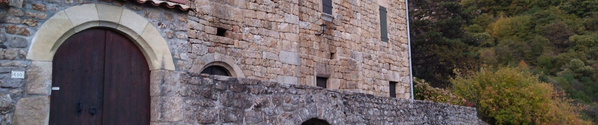
Trail Walking of 6.3 km to be discovered at Auvergne-Rhône-Alpes, Ardèche, Aizac. This trail is proposed by Rudy07.
Photos


Positioning
Country:
France
Region :
Auvergne-Rhône-Alpes
Department/Province :
Ardèche
Municipality :
Aizac
Location:
Unknown
Start:(Dec)
Start:(UTM)
605349 ; 4952039 (31T) N.
Comments