


2023-11-10_09h37m01_SityTrail - 3339926 - les-cretes-du-sancy

Jean-marc77
User
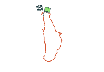

Length
13.5 km

Max alt
1862 m

Uphill gradient
945 m
Km-Effort
26 km

Min alt
1065 m

Downhill gradient
960 m
Boucle
Yes
Creation date :
2023-11-10 08:37:04.536
Updated on :
2024-02-15 22:10:00.175
5h56
Difficulty : Very difficult

FREE GPS app for hiking
 SityTrail
IGN / Geographical institutes
SityTrail Plus
The world is yours!
About
Trail Walking of 13.5 km to be discovered at Auvergne-Rhône-Alpes, Puy-de-Dôme, Mont-Dore. This trail is proposed by Jean-marc77.
Positioning
Country:
France
Region :
Auvergne-Rhône-Alpes
Department/Province :
Puy-de-Dôme
Municipality :
Mont-Dore
Location:
Unknown
Start:(Dec)
Start:(UTM)
485273 ; 5045760 (31T) N.
Comments