


Chatrau Gontier

Axelloceane
User

Length
7.6 km

Max alt
60 m

Uphill gradient
92 m
Km-Effort
8.9 km

Min alt
26 m

Downhill gradient
91 m
Boucle
Yes
Creation date :
2023-11-12 14:34:59.597
Updated on :
2024-04-01 17:29:54.82
2h00
Difficulty : Medium

FREE GPS app for hiking
 SityTrail
IGN / Geographical institutes
SityTrail Plus
The world is yours!
About
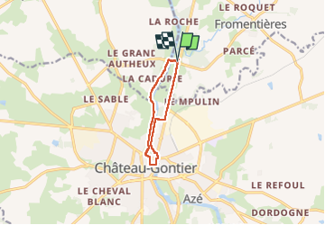
Trail Walking of 7.6 km to be discovered at Pays de la Loire, Mayenne, Fromentières. This trail is proposed by Axelloceane.
Description
Départ du pont traversant la mayenne ,ensuite suivre le halage jusqu'à Chateau Gontier .Puis retour en suivant la Mayenne et le sentier longeant la route .
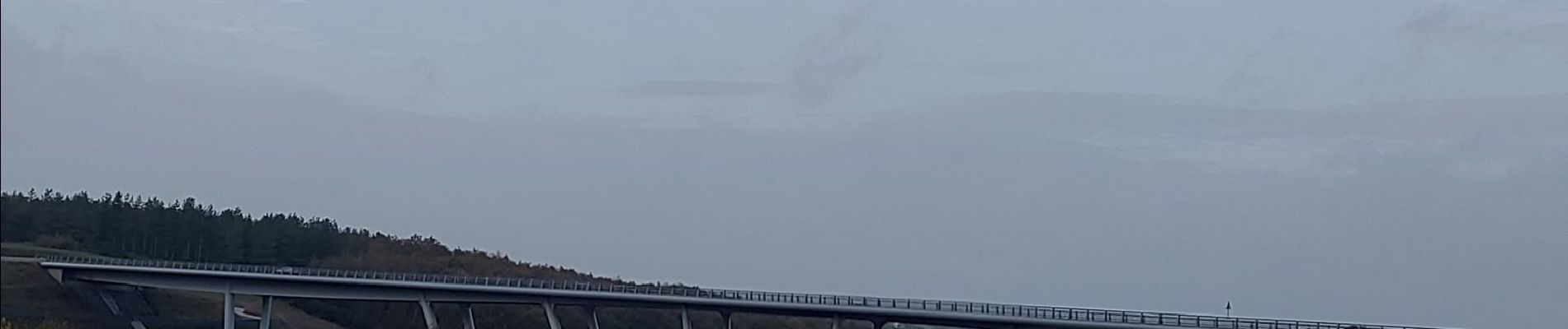
Photos


Positioning
Country:
France
Region :
Pays de la Loire
Department/Province :
Mayenne
Municipality :
Fromentières
Location:
Unknown
Start:(Dec)
Start:(UTM)
672461 ; 5302592 (30T) N.
Comments