


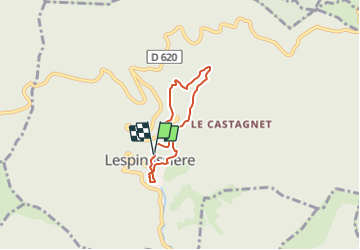

6.4 km | 10 km-effort


User


FREE GPS app for hiking
 SityTrail
IGN / Geographical institutes
SityTrail World
The world is yours!
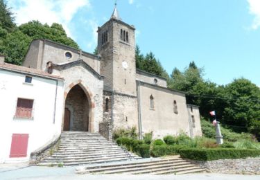
Trail Walking of 4.7 km to be discovered at Occitania, Aude, Lespinassière. This trail is proposed by SoleilMoussanais.
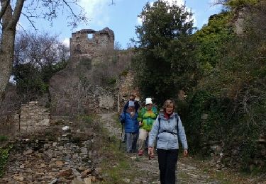
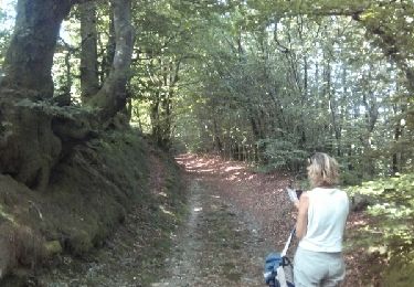
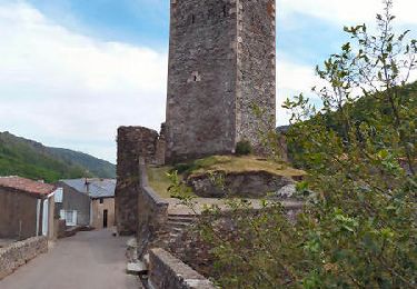
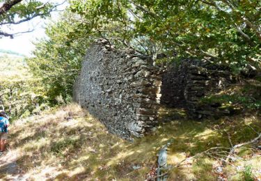
A Lespinassière. Parking à la Mairie, agréable blade dans la haute vallée de l'Argent Double. Vestiges pastoraux dans le bois de Combe Sourde.

Walking
Walking
Walking
Walking
Walking
Walking
Walking
Walking

On foot