


Burzet (Myrtille)

Rudy07
User


Length
6.7 km

Max alt
728 m

Uphill gradient
256 m
Km-Effort
10.1 km

Min alt
540 m

Downhill gradient
256 m
Boucle
Yes
Creation date :
2023-11-15 16:35:44.657
Updated on :
2024-11-14 18:30:00.558
2h08
Difficulty : Easy

FREE GPS app for hiking
 SityTrail
IGN / Geographical institutes
SityTrail Plus
The world is yours!
About
Trail Walking of 6.7 km to be discovered at Auvergne-Rhône-Alpes, Ardèche, Burzet. This trail is proposed by Rudy07.
Description
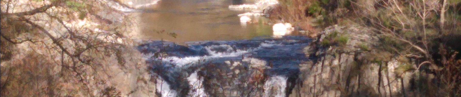
Tour de la myrtille
Photos
 - Photo 1")
 - Photo 2")
 - Photo 3")
Positioning
Country:
France
Region :
Auvergne-Rhône-Alpes
Department/Province :
Ardèche
Municipality :
Burzet
Location:
Unknown
Start:(Dec)
Start:(UTM)
598581 ; 4954816 (31T) N.
Comments