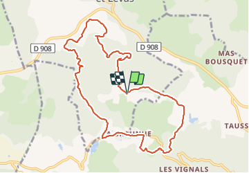


7 km | 9.7 km-effort


User


FREE GPS app for hiking
 SityTrail
IGN / Geographical institutes
SityTrail World
The world is yours!
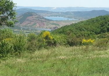
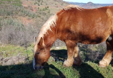
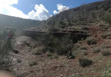
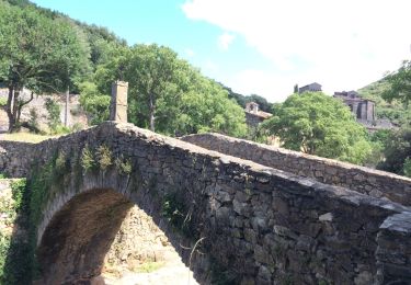
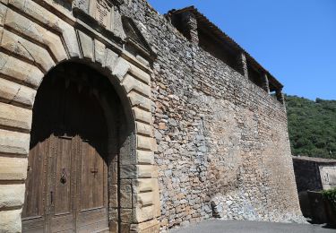
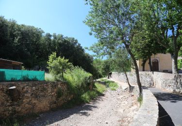
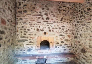
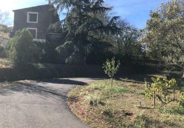
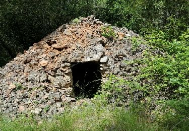
Trail of 11.1 km to be discovered at Occitania, Hérault, Carlencas-et-Levas. This trail is proposed by leboucherdaniel.
Nordic walking
Walking
Walking
On foot
On foot
Nordic walking
Walking
Walking