


st roman de codieres

toinou30
User
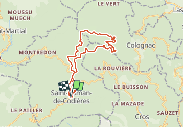

Length
16.2 km

Max alt
901 m

Uphill gradient
607 m
Km-Effort
24 km

Min alt
567 m

Downhill gradient
607 m
Boucle
Yes
Creation date :
2023-11-18 08:44:28.701
Updated on :
2023-11-19 08:34:02.226
6h11
Difficulty : Medium

FREE GPS app for hiking
 SityTrail
IGN / Geographical institutes
SityTrail Plus
The world is yours!
About
Trail Walking of 16.2 km to be discovered at Occitania, Gard, Saint-Roman-de-Codières. This trail is proposed by toinou30.
Description
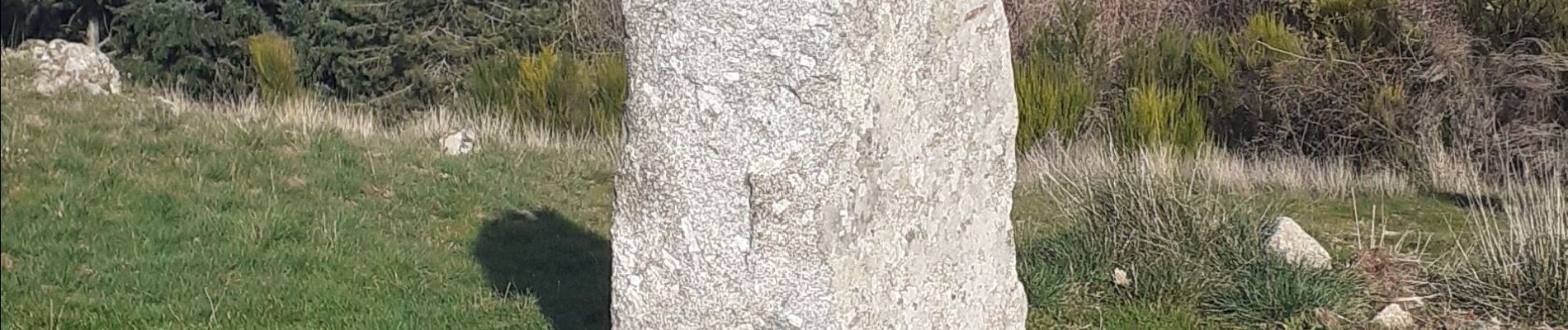
point de vue,pierres plantees
Photos


Positioning
Country:
France
Region :
Occitania
Department/Province :
Gard
Municipality :
Saint-Roman-de-Codières
Location:
Unknown
Start:(Dec)
Start:(UTM)
562408 ; 4872489 (31T) N.
Comments