


PR_56_St-Nolf_AA_01_La-Vallee-Du-Condat-7Km_Circuit1b_20231119

patrickdanilo
User
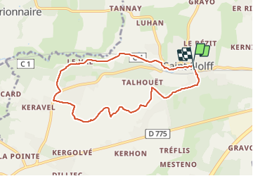

Length
7.6 km

Max alt
137 m

Uphill gradient
109 m
Km-Effort
9 km

Min alt
69 m

Downhill gradient
104 m
Boucle
Yes
Creation date :
2023-11-19 09:03:30.092
Updated on :
2025-07-28 14:09:34.981
1h31
Difficulty : Medium

FREE GPS app for hiking
 SityTrail
IGN / Geographical institutes
SityTrail Plus
The world is yours!
About
Trail Walking of 7.6 km to be discovered at Brittany, Morbihan, Saint-Nolff. This trail is proposed by patrickdanilo.
Description
Randonnée Marche de 7,6 km à découvrir à Bretagne, Morbihan, Saint-Nolff. Cette randonnée est proposée par patrickdanilo.
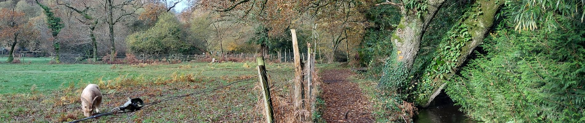
Photos


Positioning
Country:
France
Region :
Brittany
Department/Province :
Morbihan
Municipality :
Saint-Nolff
Location:
Unknown
Start:(Dec)
Start:(UTM)
526150 ; 5283377 (30T) N.
Comments