


Plateau de Guilhaumard La Sorgues

ARVIEU
User
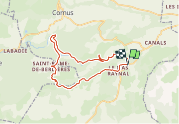

Length
16.8 km

Max alt
836 m

Uphill gradient
455 m
Km-Effort
23 km

Min alt
525 m

Downhill gradient
455 m
Boucle
Yes
Creation date :
2023-11-23 21:21:13.096
Updated on :
2023-11-23 21:27:21.299
5h00
Difficulty : Medium

FREE GPS app for hiking
 SityTrail
IGN / Geographical institutes
SityTrail Plus
The world is yours!
About
Trail Walking of 16.8 km to be discovered at Occitania, Aveyron, Cornus. This trail is proposed by ARVIEU.
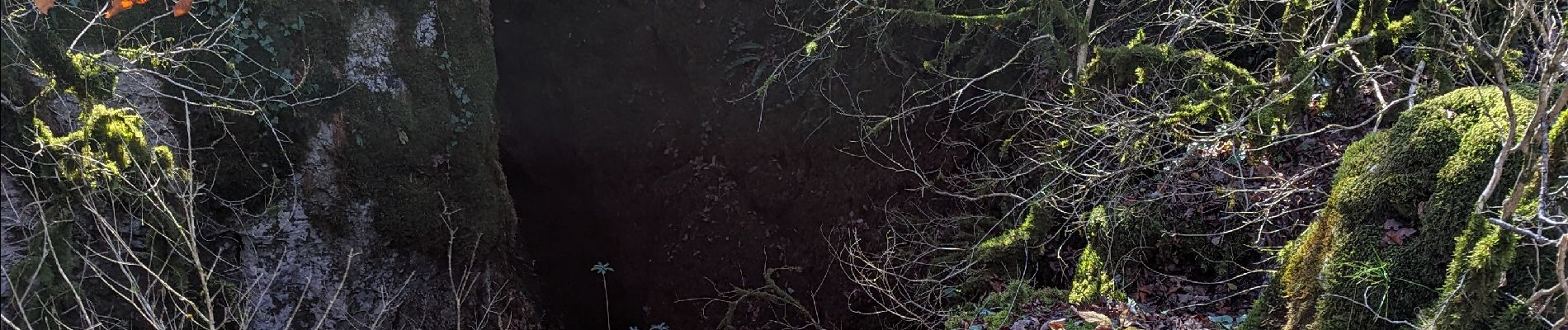
Photos


Positioning
Country:
France
Region :
Occitania
Department/Province :
Aveyron
Municipality :
Cornus
Location:
Unknown
Start:(Dec)
Start:(UTM)
517987 ; 4858038 (31T) N.
Comments