


Hte jarrie

lionelnottat
User
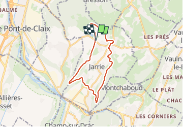

Length
12.6 km

Max alt
444 m

Uphill gradient
329 m
Km-Effort
17 km

Min alt
268 m

Downhill gradient
329 m
Boucle
Yes
Creation date :
2023-11-28 08:40:26.743
Updated on :
2023-11-28 12:57:23.97
3h07
Difficulty : Easy

FREE GPS app for hiking
 SityTrail
IGN / Geographical institutes
SityTrail Plus
The world is yours!
About
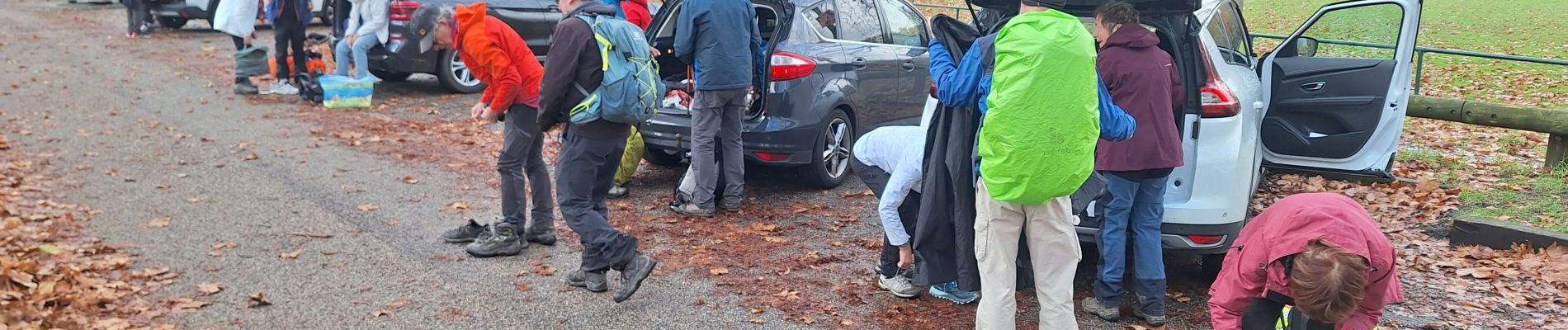
Trail Walking of 12.6 km to be discovered at Auvergne-Rhône-Alpes, Isère, Jarrie. This trail is proposed by lionelnottat.
Photos


Positioning
Country:
France
Region :
Auvergne-Rhône-Alpes
Department/Province :
Isère
Municipality :
Jarrie
Location:
Unknown
Start:(Dec)
Start:(UTM)
716155 ; 4999699 (31T) N.
Comments