


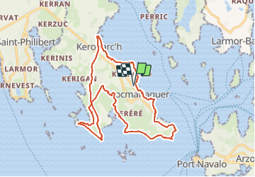
Locmariaquer

taguette
User

Length
19.1 km

Max alt
13 m

Uphill gradient
124 m
Km-Effort
21 km

Min alt
-1 m

Downhill gradient
124 m
Boucle
Yes
Creation date :
2023-11-28 11:04:07.057
Updated on :
2023-11-28 15:50:48.465
4h07
Difficulty : Medium

FREE GPS app for hiking
 SityTrail
IGN / Geographical institutes
SityTrail Plus
The world is yours!
About
Trail Walking of 19.1 km to be discovered at Brittany, Morbihan, Locmariaquer. This trail is proposed by taguette.
Positioning
Country:
France
Region :
Brittany
Department/Province :
Morbihan
Municipality :
Locmariaquer
Location:
Unknown
Start:(Dec)
Start:(UTM)
503968 ; 5268718 (30T) N.
Comments