


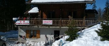
Chalet Haute Joux

albert39
User
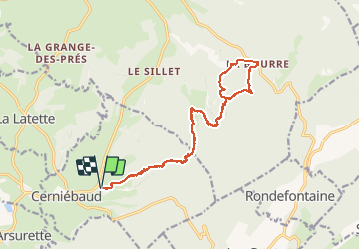

Length
20 km

Max alt
1098 m

Uphill gradient
348 m
Km-Effort
25 km

Min alt
961 m

Downhill gradient
349 m
Boucle
Yes
Creation date :
2015-02-20 00:00:00.0
Updated on :
2015-02-20 00:00:00.0
5h42
Difficulty : Medium

FREE GPS app for hiking
 SityTrail
IGN / Geographical institutes
SityTrail Plus
The world is yours!
About
Trail Snowshoes of 20 km to be discovered at Bourgogne-Franche-Comté, Jura, Cerniébaud. This trail is proposed by albert39.
Description
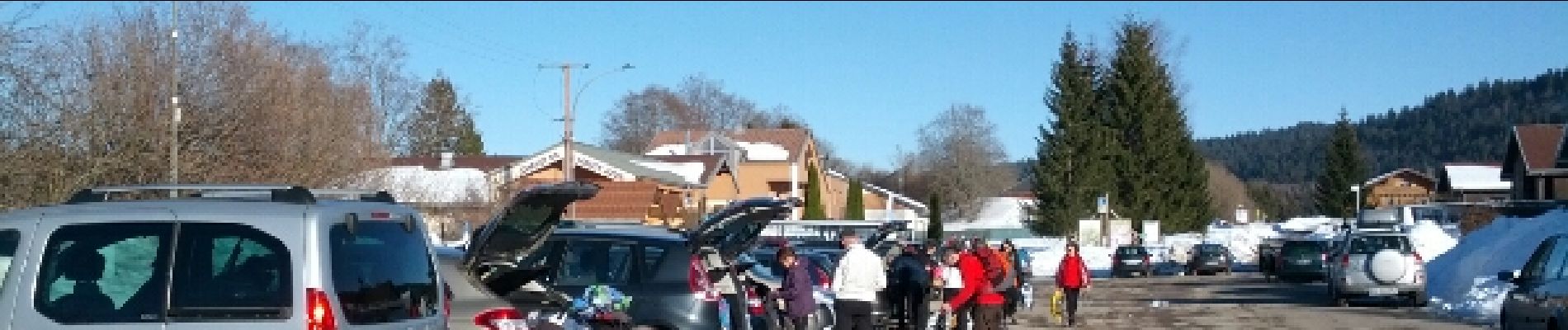
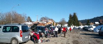
Sortie journée RSGD, ensoleillée et sympas. Repas tiré du sac avec bol de soupe au chalet de la Bourre.
Photos


Positioning
Country:
France
Region :
Bourgogne-Franche-Comté
Department/Province :
Jura
Municipality :
Cerniébaud
Location:
Unknown
Start:(Dec)
Start:(UTM)
279718 ; 5179716 (32T) N.
Comments