


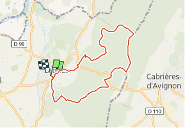

15.1 km | 25 km-effort


User


FREE GPS app for hiking
 SityTrail
IGN / Geographical institutes
SityTrail World
The world is yours!
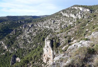
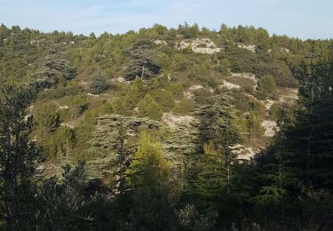
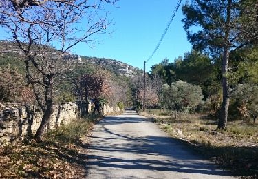
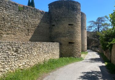
Trail Walking of 8.8 km to be discovered at Provence-Alpes-Côte d'Azur, Vaucluse, Lagnes. This trail is proposed by liocol.
Balisage rouge et jaune jusque la citerne, ensuite jaune direction Lagnes.


Walking
Walking

Walking

Hybrid bike
Walking

Walking
Cycle
Walking

Walking