


Bevons pierre impie roc de l'aigle 15.6km 950m

Danielba
User GUIDE
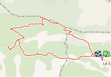

Length
15.6 km

Max alt
1189 m

Uphill gradient
825 m
Km-Effort
27 km

Min alt
628 m

Downhill gradient
823 m
Boucle
Yes
Creation date :
2023-12-03 07:29:46.782
Updated on :
2023-12-03 18:24:15.477
8h13
Difficulty : Medium

FREE GPS app for hiking
 SityTrail
IGN / Geographical institutes
SityTrail Plus
The world is yours!
About
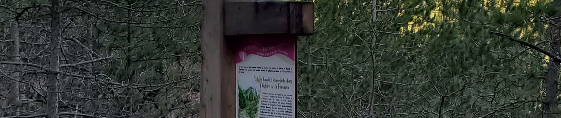
Trail Walking of 15.6 km to be discovered at Provence-Alpes-Côte d'Azur, Alpes-de-Haute-Provence, Bevons. This trail is proposed by Danielba .
Photos


Positioning
Country:
France
Region :
Provence-Alpes-Côte d'Azur
Department/Province :
Alpes-de-Haute-Provence
Municipality :
Bevons
Location:
Unknown
Start:(Dec)
Start:(UTM)
730147 ; 4896140 (31T) N.
Comments