


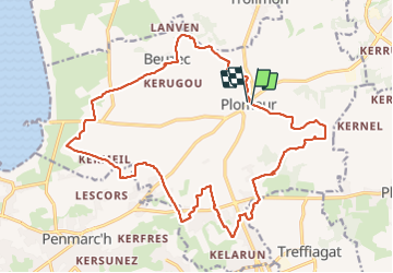

23 km | 26 km-effort


User


FREE GPS app for hiking
 SityTrail
IGN / Geographical institutes
SityTrail World
The world is yours!
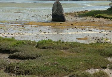
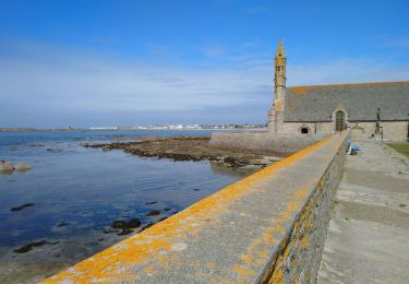
Trail On foot of 24 km to be discovered at Brittany, Finistère, Plomeur. This trail is proposed by RonanDAGORN.
Rando après la tempête Ciaran = beaucoup de chemins interdits, donc plus de bitume que d'habitude. Malgré tout randonnée intéressante


Walking

Walking


sport
On foot
On foot
Walking
Walking

Mountain bike

Mountain bike