Trail Walking Aubange - le joli bois - Photo
© OpenStreetMap contributors
Length
Length
6.7 km
Max alt
Max alt
393 m
Uphill gradient
Uphill gradient
167 m
Km-Effort
Km-Effort  
9 km
Min alt
Min alt
304 m
Downhill gradient
Downhill gradient
161 m
Boucle
Boucle
Yes
Creation date :
2015-05-03 00:00:00.0
Updated on :
2015-05-03 00:00:00.0

(0 Reviews)

Walking
Walking
1h57
Difficulty : Easy

Scan this QR Code to open this trail in the SityTrail application

FREE GPS app for hiking

Logo SityTrail SityTrail

IGN / Geographical institutes

Download SityTrail from the App Store Download SityTrail from Google Play

Logo SityTrail SityTrail World

The world is yours!

Download SityTrail from the App Store Download SityTrail from Google Play Download SityTrail on Huawei AppGallery

About

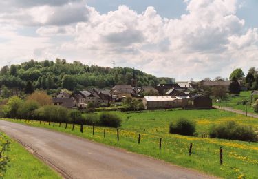
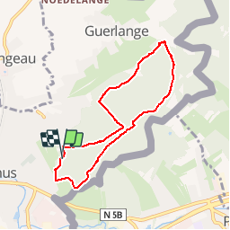
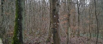
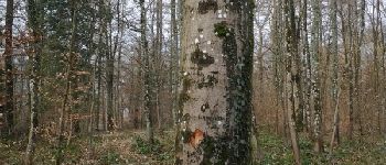
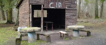
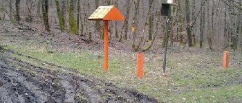
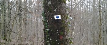
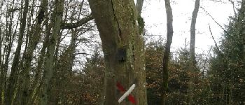
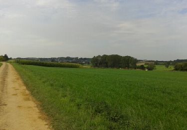
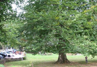
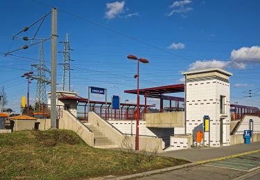
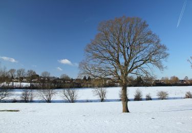
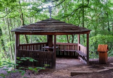
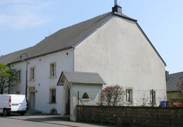
Trail Walking of 6.7 km to be discovered at Wallonia, Luxembourg, Aubange. This trail is proposed by lerandonneur65.

Description

Balade avec CW pour le SI

Elevation profile

Photos

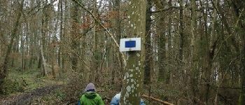
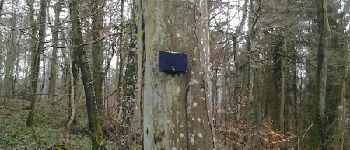
37 photos in total. Please click on a photo to see them all in the gallery.

Points of interest

Point of interest Aubange - Point 1 - Photo
lerandonneur65
AUBANGE 
Point of interest Aubange - Point 2 - Photo
lerandonneur65
AUBANGE 
Point of interest Aubange - vuePoint 3 - Photo
lerandonneur65
AUBANGE 
Point of interest Aubange - Point 4 - Photo
lerandonneur65
AUBANGE 
Point of interest Aubange - Point 5 - Photo
lerandonneur65
AUBANGE 
Point of interest Aubange - recPoint 6 - Photo
lerandonneur65
AUBANGE 
Point of interest Aubange - Point 7 - Photo
lerandonneur65
AUBANGE 
Point of interest Aubange - Point 8 - Photo
lerandonneur65
AUBANGE 
Point of interest Aubange - Point 9 - Photo
lerandonneur65
AUBANGE 
Point of interest Aubange - Point 10 - Photo
lerandonneur65
AUBANGE 
Point of interest Aubange - recPoint 11 - Photo
lerandonneur65
AUBANGE 
Point of interest Aubange - Point 17 carrefour - Photo
lerandonneur65
Point of interest Aubange - dir droitePoint 20 - Photo
lerandonneur65
Point of interest Aubange - recPoint 21 - Photo
lerandonneur65
AUBANGE 
Point of interest Aubange - dir gauchePoint 24 - Photo
lerandonneur65
Point of interest Aubange - dir droitePoint 25 - Photo
lerandonneur65
Point of interest Aubange - Point 31 - Photo
lerandonneur65
AUBANGE 
Point of interest Aubange - Point 32 - Photo
lerandonneur65
AUBANGE 
Point of interest Aubange - recPoint 37 - Photo
lerandonneur65
AUBANGE 

Positioning

Country:
Belgium
Region :
Wallonia
Department/Province :
Luxembourg
Municipality :
Aubange
Location:
Athus
Start:(UTM)
705623 ; 5494259 (31U) N.

Trails nearby

Trail Walking Messancy - Selange - Photo
Walking
cayana2002

Walking

Easy
(1)
Messancy, Wallonia, Luxembourg, Belgium
11.1 km | 13.7 km-effort
2h 35min
Yes
Trail On foot Aubange - BE-AU 01 - Photo
On foot
PRO

On foot

Easy
Aubange, Wallonia, Luxembourg, Belgium
12.2 km | 14.9 km-effort
3h 22min
Yes
Trail On foot Pétange - Auto-Pédestre Pétange - Photo
On foot
PRO

On foot

Easy
Pétange, Unknown, Canton Esch-sur-Alzette, Luxembourg
8.3 km | 10.4 km-effort
2h 21min
Yes
Trail On foot Käerjeng - Auto-Pédestre Clemency 1 - Photo
On foot
PRO

On foot

Easy
Käerjeng, Unknown, Canton Capellen, Luxembourg
11.3 km | 14.6 km-effort
3h 18min
Yes
Trail On foot Pétange - Auto-Pédestre Lamadelaine - Photo
On foot
PRO

On foot

Easy
Pétange, Unknown, Canton Esch-sur-Alzette, Luxembourg
10.8 km | 13.4 km-effort
3h 2min
Yes
Trail On foot Käerjeng - Sentier Naturfrenn Käerjéng - Photo
On foot
PRO

On foot

Easy
Käerjeng, Unknown, Canton Capellen, Luxembourg
8.5 km | 10.4 km-effort
2h 22min
Yes
Trail On foot Käerjeng - Auto-Pédestre Bascharage - Photo
On foot
PRO

On foot

Easy
Käerjeng, Unknown, Canton Capellen, Luxembourg
9 km | 10.6 km-effort
2h 24min
Yes
Trail On foot Aubange - The Pretty Wood - Photo
On foot
PRO

On foot

Easy
Aubange, Wallonia, Luxembourg, Belgium
8.5 km | 11.7 km-effort
2h 39min
Yes
Trail On foot Messancy - Bébange - Photo
On foot
GUIDE+

On foot

Easy
(1)
Messancy, Wallonia, Luxembourg, Belgium
6 km | 7.5 km-effort
1h 41min
Yes


Close
My subscriptions