


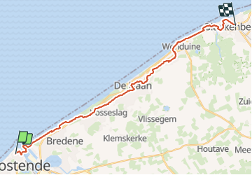
sgr kust (gr régional côte) day 3/4

Charles Lemaire
User GUIDE


6h03
Difficulty : Very difficult

FREE GPS app for hiking
 SityTrail
IGN / Geographical institutes
SityTrail Plus
The world is yours!
About
Trail Walking of 24 km to be discovered at Flanders, West Flanders, Ostend. This trail is proposed by Charles Lemaire.
Description
Une étape un peu plus courte que les précédentes.
Dans notre cas celle du retour via la gare de Blankenberge.
Aussi la plus facile: la plupart des chemins sont aménagés ou bien sont dans des forêts dunaires (et donc avec un sol beaucoup mieux structuré).
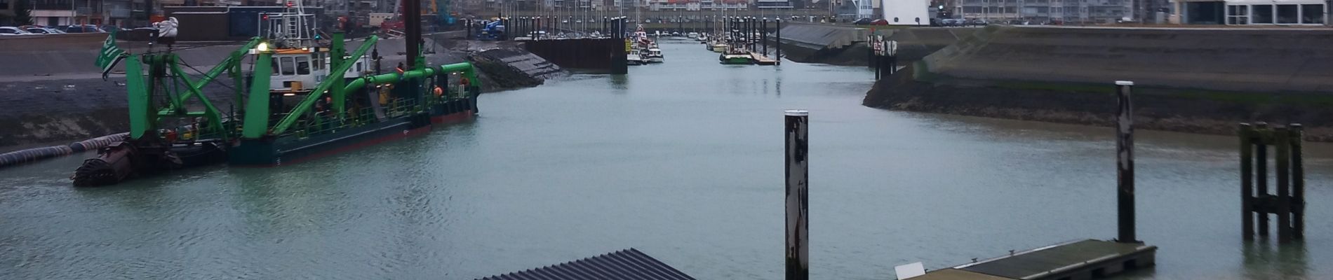
Photos
 day 3/4 - Photo 1")
 day 3/4 - Photo 2")
 day 3/4 - Photo 3")
Positioning
Comments