


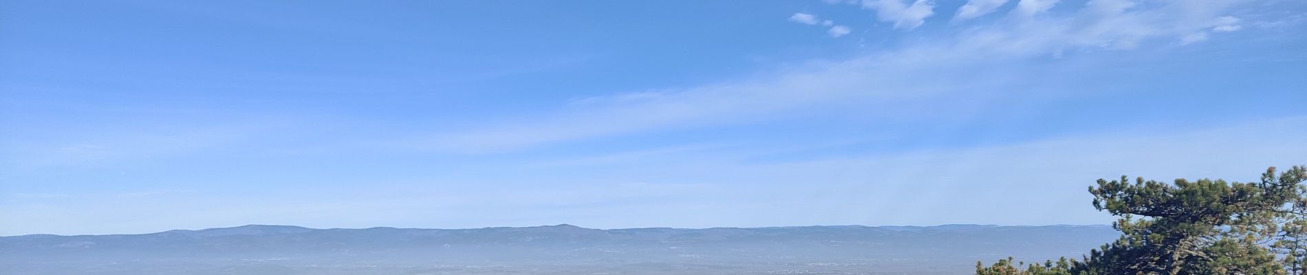
Signal Alaric par Comigne combe Mijere Roc gris

Ada11
User GUIDE
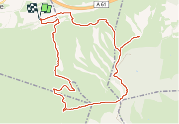

Length
13.6 km

Max alt
597 m

Uphill gradient
583 m
Km-Effort
21 km

Min alt
136 m

Downhill gradient
583 m
Boucle
Yes
Creation date :
2023-12-10 07:53:11.64
Updated on :
2023-12-10 13:52:22.96
5h15
Difficulty : Medium

FREE GPS app for hiking
 SityTrail
IGN / Geographical institutes
SityTrail Plus
The world is yours!
About
Trail Walking of 13.6 km to be discovered at Occitania, Aude, Comigne. This trail is proposed by Ada11.
Photos


Positioning
Country:
France
Region :
Occitania
Department/Province :
Aude
Municipality :
Comigne
Location:
Unknown
Start:(Dec)
Start:(UTM)
467400 ; 4779480 (31T) N.
Comments