


Grauroig

Bruno Devigne
User


Length
10.4 km

Max alt
2503 m

Uphill gradient
784 m
Km-Effort
21 km

Min alt
2106 m

Downhill gradient
787 m
Boucle
No
Creation date :
2023-12-16 09:25:04.754
Updated on :
2023-12-16 15:45:10.378
6h19
Difficulty : Medium

FREE GPS app for hiking
 SityTrail
IGN / Geographical institutes
SityTrail Plus
The world is yours!
About
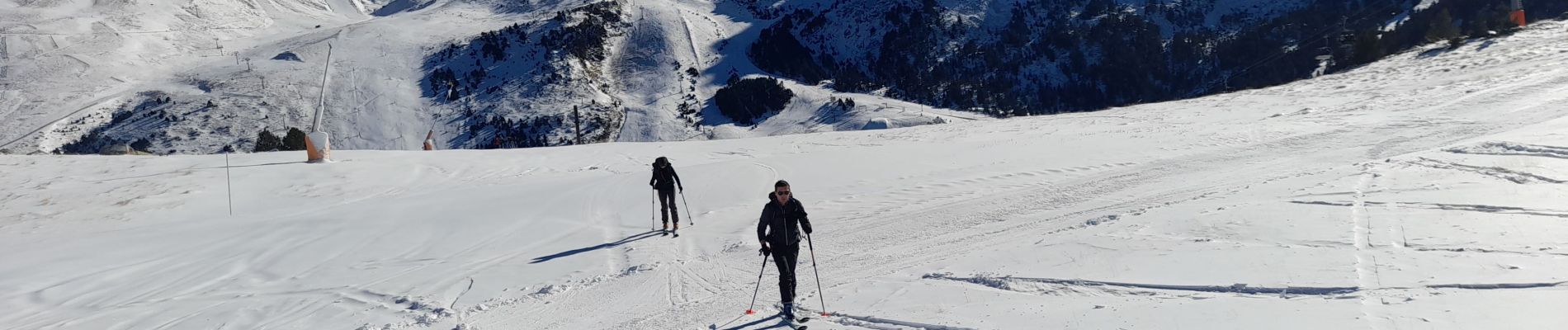
Trail Touring skiing of 10.4 km to be discovered at Andorra. This trail is proposed by Bruno Devigne.
Description
ski de rando, retour sur piste
Photos

Positioning
Country:
Andorra
Region :
Unknown
Department/Province :
Unknown
Municipality :
Unknown
Location:
Unknown
Start:(Dec)
Start:(UTM)
393221 ; 4709614 (31T) N.
Comments