


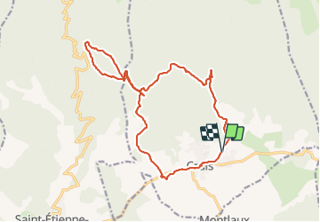
cruis tour des jas 900m 21kms

Danielba
User GUIDE

Length
20 km

Max alt
1287 m

Uphill gradient
826 m
Km-Effort
31 km

Min alt
693 m

Downhill gradient
829 m
Boucle
Yes
Creation date :
2023-12-17 07:44:32.767
Updated on :
2023-12-17 17:57:11.126
8h03
Difficulty : Easy

FREE GPS app for hiking
 SityTrail
IGN / Geographical institutes
SityTrail Plus
The world is yours!
About
Trail Walking of 20 km to be discovered at Provence-Alpes-Côte d'Azur, Alpes-de-Haute-Provence, Cruis. This trail is proposed by Danielba .
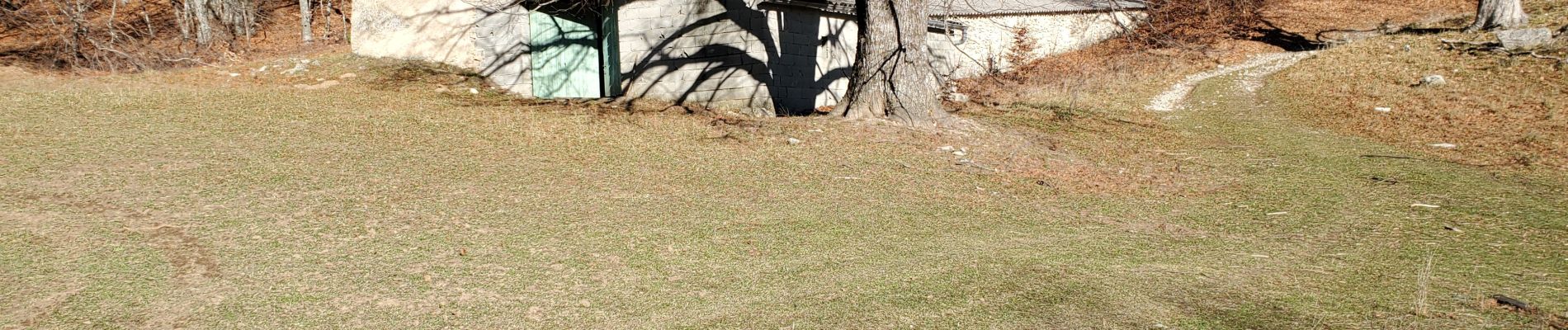
Photos


Positioning
Country:
France
Region :
Provence-Alpes-Côte d'Azur
Department/Province :
Alpes-de-Haute-Provence
Municipality :
Cruis
Location:
Unknown
Start:(Dec)
Start:(UTM)
727841 ; 4883147 (31T) N.
Comments