


La Cassiere Aydat Verneuge Fontfreyde

Papou63patrick
User

Length
13 km

Max alt
929 m

Uphill gradient
291 m
Km-Effort
16.9 km

Min alt
831 m

Downhill gradient
288 m
Boucle
Yes
Creation date :
2023-12-17 12:38:03.54
Updated on :
2023-12-17 18:14:04.99
3h04
Difficulty : Medium

FREE GPS app for hiking
 SityTrail
IGN / Geographical institutes
SityTrail Plus
The world is yours!
About
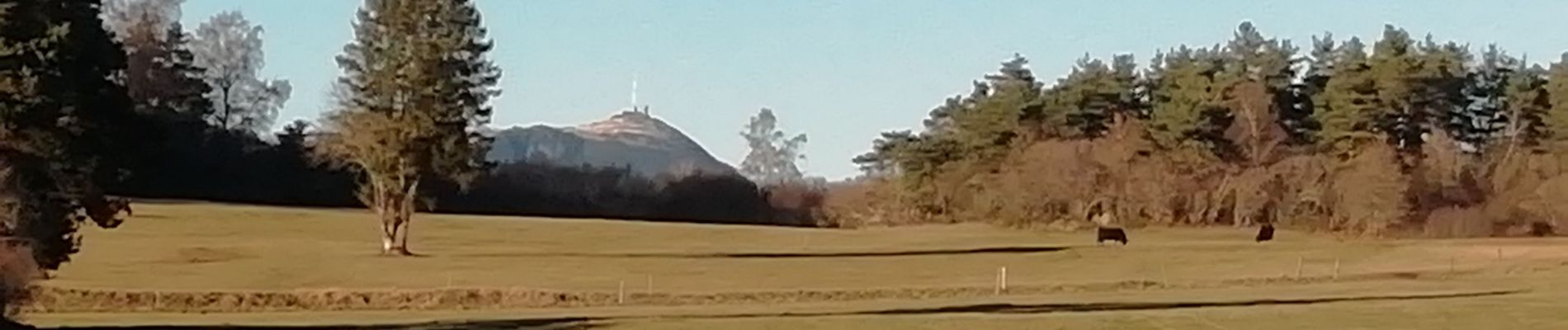
Trail Walking of 13 km to be discovered at Auvergne-Rhône-Alpes, Puy-de-Dôme, Aydat. This trail is proposed by Papou63patrick.
Photos

Positioning
Country:
France
Region :
Auvergne-Rhône-Alpes
Department/Province :
Puy-de-Dôme
Municipality :
Aydat
Location:
Unknown
Start:(Dec)
Start:(UTM)
499695 ; 5059900 (31T) N.
Comments