


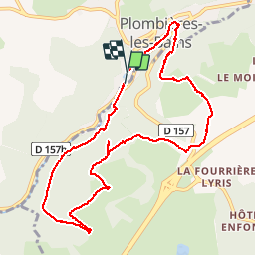
Le Chemin des Pierres

jeanclaude12
User


3h08
Difficulty : Easy

FREE GPS app for hiking
 SityTrail
IGN / Geographical institutes
SityTrail Plus
The world is yours!
About
Trail Walking of 10.2 km to be discovered at Grand Est, Vosges, Plombières-les-Bains. This trail is proposed by jeanclaude12.
Description
Au départ du Casino de Plombières (Ancienne Gare), cet agréable circuit grimpe doucement sous le Bois de Ramanxard vers le Moulin Taqueré, longe ce bois vers la Croix Rouge, passe le Petit Moulin et le Bolha et rejoint Plombières-les-Bains en surplombant le Parc Rivoli.
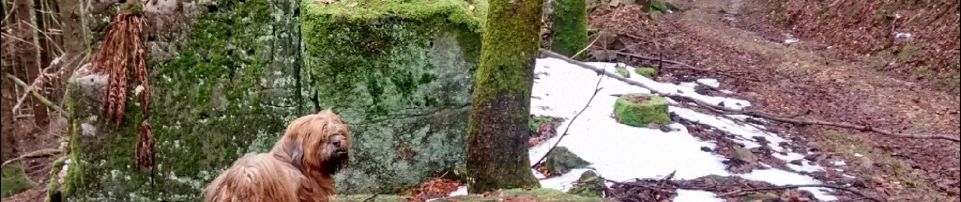
Photos


Positioning
Comments