


valbelle St pons

Danielba
User GUIDE


Length
12.6 km

Max alt
1191 m

Uphill gradient
838 m
Km-Effort
24 km

Min alt
544 m

Downhill gradient
842 m
Boucle
Yes
Creation date :
2023-12-19 07:21:23.764
Updated on :
2023-12-19 18:07:56.416
7h53
Difficulty : Difficult

FREE GPS app for hiking
 SityTrail
IGN / Geographical institutes
SityTrail Plus
The world is yours!
About
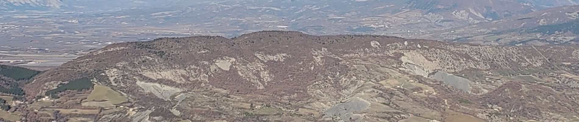
Trail Walking of 12.6 km to be discovered at Provence-Alpes-Côte d'Azur, Alpes-de-Haute-Provence, Valbelle. This trail is proposed by Danielba .
Photos


Positioning
Country:
France
Region :
Provence-Alpes-Côte d'Azur
Department/Province :
Alpes-de-Haute-Provence
Municipality :
Valbelle
Location:
Unknown
Start:(Dec)
Start:(UTM)
730331 ; 4892338 (31T) N.
Comments