Trail Snowshoes Saint-Dalmas-le-Selvage - Col de la Moutière - Photo
 bozo1970
bozo1970

User

© OpenStreetMap contributors
Length
Length
17.8 km
Max alt
Max alt
2446 m
Uphill gradient
Uphill gradient
939 m
Km-Effort
Km-Effort  
30 km
Min alt
Min alt
1504 m
Downhill gradient
Downhill gradient
939 m
Boucle
Boucle
Yes
Creation date :
2023-12-21 08:40:24.0
Updated on :
2023-12-21 19:15:11.75

(0 Reviews)

Snowshoes
Snowshoes
5h03
Difficulty : Medium

Scan this QR Code to open this trail in the SityTrail application

FREE GPS app for hiking

Logo SityTrail SityTrail

IGN / Geographical institutes

Download SityTrail from the App Store Download SityTrail from Google Play

Logo SityTrail SityTrail World

The world is yours!

Download SityTrail from the App Store Download SityTrail from Google Play Download SityTrail on Huawei AppGallery

About

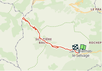
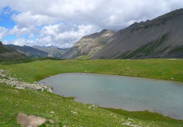
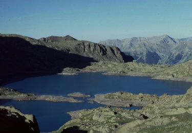
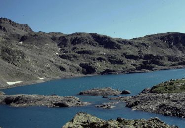
Trail Snowshoes of 17.8 km to be discovered at Provence-Alpes-Côte d'Azur, Maritime Alps, Saint-Dalmas-le-Selvage. This trail is proposed by bozo1970.

Description

Départ de St Dalmas le Selvage
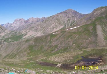
Balise 56 en 1h, 3km400 et D  421m
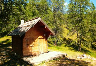
Refuge de Sestrière en 1h15’
Col en 2h54’, 8km900 et D  970m
A/R en 5h04’, 18km et D  981m
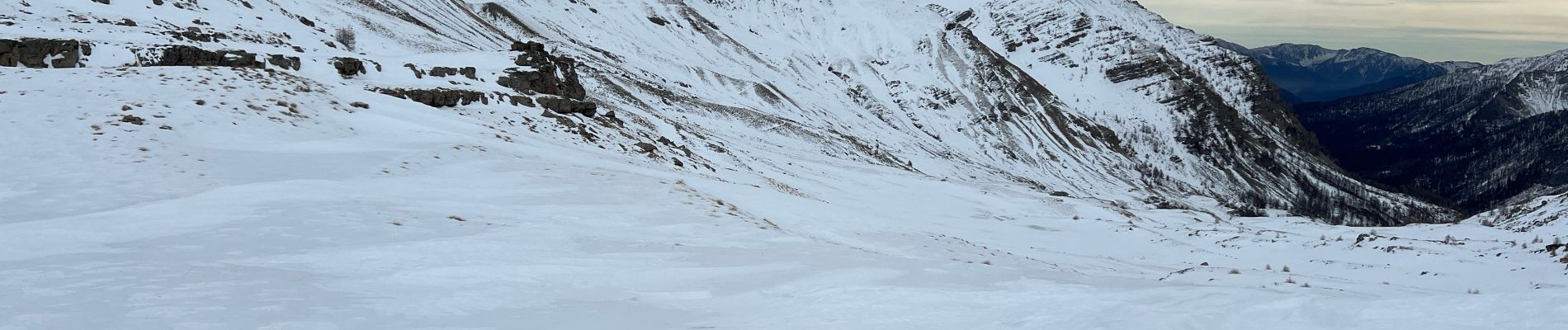
Montée tranquille, vent fort, peu de neige sous les 2200m
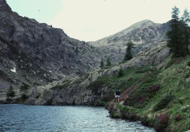
Aucun animal !

Elevation profile

Photos

Positioning

Country:
France
Region :
Provence-Alpes-Côte d'Azur
Department/Province :
Maritime Alps
Municipality :
Saint-Dalmas-le-Selvage
Location:
Unknown
Start:(UTM)
329570 ; 4905665 (32T) N.

Trails nearby

Trail Walking Saint-Étienne-de-Tinée - Mont Ténibre en boucle depuis Saint Etienne de Tinée - Photo
Walking
tracegps

Walking

Very difficult
(4)
Saint-Étienne-de-Tinée, Provence-Alpes-Côte d'Azur, Maritime Alps, France
18 km | 45 km-effort
10h 0min
Yes
Trail On foot Saint-Étienne-de-Tinée - Circuit du Bois d'Anelle - Photo
On foot
PRO

On foot

Medium
Saint-Étienne-de-Tinée, Provence-Alpes-Côte d'Azur, Maritime Alps, France
11.3 km | 21 km-effort
4h 40min
Yes
Trail On foot Saint-Étienne-de-Tinée - Circuit de Selasse - Photo
On foot
PRO

On foot

Easy
Saint-Étienne-de-Tinée, Provence-Alpes-Côte d'Azur, Maritime Alps, France
6.3 km | 15.1 km-effort
3h 25min
Yes
Trail On foot Saint-Dalmas-le-Selvage - Col de Gialorgues - Photo
On foot
PRO

On foot

Easy
Saint-Dalmas-le-Selvage, Provence-Alpes-Côte d'Azur, Maritime Alps, France
9.8 km | 17 km-effort
3h 52min
Yes
Trail On foot Saint-Dalmas-le-Selvage - Crête de la Blanche - Photo
On foot
PRO

On foot

Medium
Saint-Dalmas-le-Selvage, Provence-Alpes-Côte d'Azur, Maritime Alps, France
12 km | 20 km-effort
4h 33min
Yes
Trail On foot Saint-Étienne-de-Tinée - Chemin de l'Energie - Photo
On foot
PRO

On foot

Very difficult
Saint-Étienne-de-Tinée, Provence-Alpes-Côte d'Azur, Maritime Alps, France
30 km | 55 km-effort
12h 34min
No
Trail On foot Saint-Étienne-de-Tinée - Chemin de l'Energie - Etape 1 - Photo
On foot
PRO

On foot

Easy
Saint-Étienne-de-Tinée, Provence-Alpes-Côte d'Azur, Maritime Alps, France
7.4 km | 16.4 km-effort
3h 44min
No
Trail On foot Saint-Étienne-de-Tinée - Mont Ténibre - Photo
On foot
PRO

On foot

Very difficult
Saint-Étienne-de-Tinée, Provence-Alpes-Côte d'Azur, Maritime Alps, France
24 km | 52 km-effort
11h 45min
Yes
Trail On foot Saint-Étienne-de-Tinée - Mont Ténibre - Etape 1 - Photo
On foot
PRO

On foot

Medium
Saint-Étienne-de-Tinée, Provence-Alpes-Côte d'Azur, Maritime Alps, France
8.4 km | 24 km-effort
5h 20min
No


Close
My subscriptions