


lacs cantal

mimilolo
User
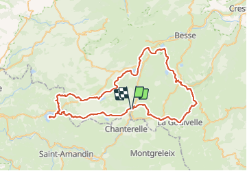

Length
79 km

Max alt
1332 m

Uphill gradient
1708 m
Km-Effort
102 km

Min alt
849 m

Downhill gradient
1710 m
Boucle
Yes
Creation date :
2023-12-21 14:44:02.922
Updated on :
2023-12-21 14:50:39.938
23h04
Difficulty : Very difficult

FREE GPS app for hiking
 SityTrail
IGN / Geographical institutes
SityTrail Plus
The world is yours!
About
Trail On foot of 79 km to be discovered at Auvergne-Rhône-Alpes, Puy-de-Dôme, Égliseneuve-d'Entraigues. This trail is proposed by mimilolo.
Description
depart egliseneuve d'entraigues boucle
lac pavin chauvet de la cregut de lastioulie
Positioning
Country:
France
Region :
Auvergne-Rhône-Alpes
Department/Province :
Puy-de-Dôme
Municipality :
Égliseneuve-d'Entraigues
Location:
Unknown
Start:(Dec)
Start:(UTM)
486416 ; 5028314 (31T) N.
Comments