


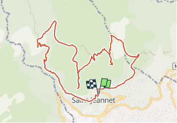
Baous de la Gaude et de St Jeannet

GrouGary
User


5h51
Difficulty : Medium

FREE GPS app for hiking
 SityTrail
IGN / Geographical institutes
SityTrail Plus
The world is yours!
About
Trail Walking of 15 km to be discovered at Provence-Alpes-Côte d'Azur, Maritime Alps, Saint-Jeannet. This trail is proposed by GrouGary.
Description
Boucle sans difficulté pour une journée d'hiver ;
Peu après le secteur du "chateau Bresson" et jusqu'à la balise 74, je signale une montée longue et soutenue sous le baou de la Gaude, le long de la conduite d'eau. Pas de difficulté technique mais en inversant le sens de la randonnée, la descente pourrait poser problème à ceux qui n'ont pas un excellent équilibre.
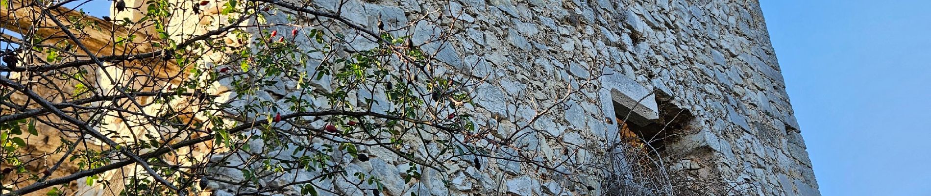
Photos


Positioning
Comments