


Ibos Bartres AR

chasle
User
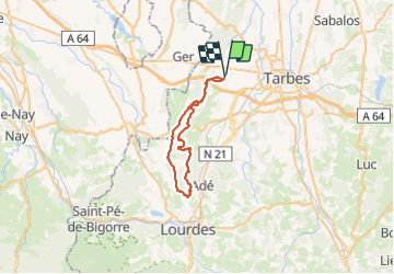

Length
42 km

Max alt
549 m

Uphill gradient
763 m
Km-Effort
52 km

Min alt
320 m

Downhill gradient
762 m
Boucle
Yes
Creation date :
2023-12-23 07:12:48.655
Updated on :
2024-01-02 16:10:42.744
8h46
Difficulty : Difficult

FREE GPS app for hiking
 SityTrail
IGN / Geographical institutes
SityTrail Plus
The world is yours!
About
Trail Walking of 42 km to be discovered at Occitania, Hautespyrenees, Ibos. This trail is proposed by chasle.
Positioning
Country:
France
Region :
Occitania
Department/Province :
Hautespyrenees
Municipality :
Ibos
Location:
Unknown
Start:(Dec)
Start:(UTM)
256504 ; 4791137 (31T) N.
Comments