


Baillif

sameja
User

Length
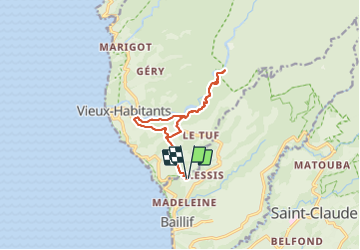
16.4 km

Max alt
244 m

Uphill gradient
638 m
Km-Effort
25 km

Min alt
40 m

Downhill gradient
637 m
Boucle
Yes
Creation date :
2023-12-25 11:17:54.0
Updated on :
2023-12-25 14:43:09.198
2h59
Difficulty : Medium

FREE GPS app for hiking
 SityTrail
IGN / Geographical institutes
SityTrail Plus
The world is yours!
About
Trail Trail of 16.4 km to be discovered at Guadeloupe, Unknown, Baillif. This trail is proposed by sameja.
Description
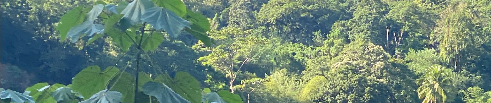
La boucle
Photos


Positioning
Country:
France
Region :
Guadeloupe
Department/Province :
Unknown
Municipality :
Baillif
Location:
Unknown
Start:(Dec)
Start:(UTM)
634625 ; 1773421 (20Q) N.
Comments