


Ganges bois de Montmale Laroque

Roger Philippe Wallez
User GUIDE

Length
16.1 km

Max alt
483 m

Uphill gradient
390 m
Km-Effort
21 km

Min alt
141 m

Downhill gradient
390 m
Boucle
Yes
Creation date :
2023-12-29 10:47:23.0
Updated on :
2023-12-29 15:54:57.148
5h06
Difficulty : Very difficult

FREE GPS app for hiking
 SityTrail
IGN / Geographical institutes
SityTrail Plus
The world is yours!
About
Trail Walking of 16.1 km to be discovered at Occitania, Hérault, Ganges. This trail is proposed by Roger Philippe Wallez.
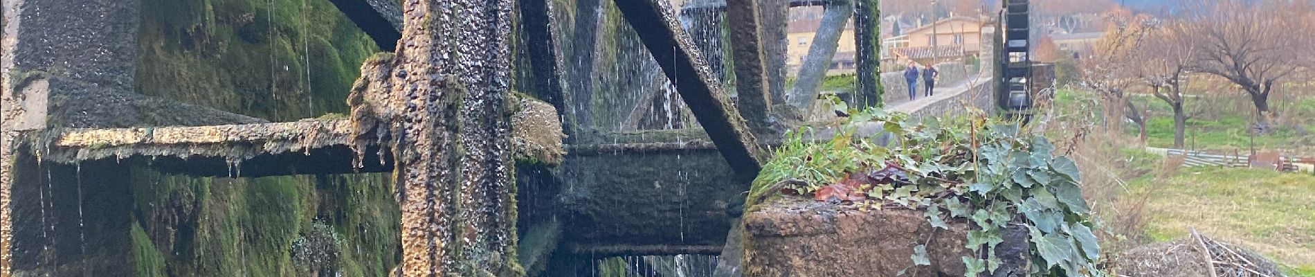
Photos


Positioning
Country:
France
Region :
Occitania
Department/Province :
Hérault
Municipality :
Ganges
Location:
Unknown
Start:(Dec)
Start:(UTM)
556660 ; 4864346 (31T) N.
Comments