


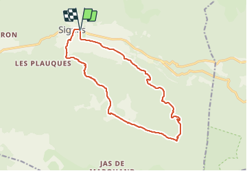

14.2 km | 18.3 km-effort


User


FREE GPS app for hiking
 SityTrail
IGN / Geographical institutes
SityTrail World
The world is yours!
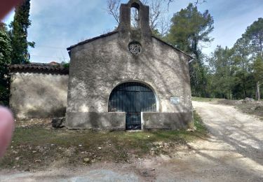
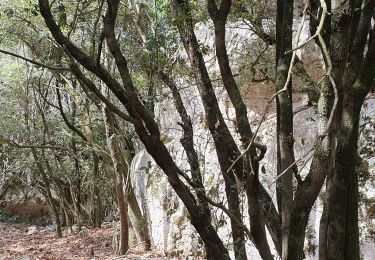
Trail Walking of 17.3 km to be discovered at Provence-Alpes-Côte d'Azur, Var, Signes. This trail is proposed by FSantoni.
Très belle randonnée pour cette dernière de 2023 !


Walking

Walking
Mountain bike
Walking

Mountain bike

Walking
Walking
Walking
Walking