


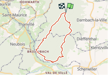

13 km | 18.5 km-effort


User GUIDE


FREE GPS app for hiking
 SityTrail
IGN / Geographical institutes
SityTrail World
The world is yours!
Trail Walking of 14.3 km to be discovered at Grand Est, Bas-Rhin, Dambach-la-Ville. This trail is proposed by holtzv.
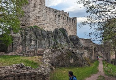
Marche sur la journée au départ du parking du Schulwaldplatz en passant par les châteaux du Bernstein et de l'Ortenbourg, la route du sel, le Gallienstein et le Falkenstein avec une petite pause pour faire de l'escalade.


Walking
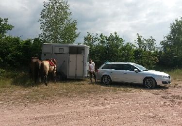
Equestrian

Mountain bike

Horseback riding

Walking

Walking
Walking

Walking
Trail