


J6 lot 21k

ophness
User
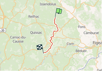

Length
21 km

Max alt
359 m

Uphill gradient
310 m
Km-Effort
25 km

Min alt
266 m

Downhill gradient
338 m
Boucle
No
Creation date :
2024-01-04 17:32:12.0
Updated on :
2024-01-04 17:32:14.452

FREE GPS app for hiking
 SityTrail
IGN / Geographical institutes
SityTrail Plus
The world is yours!
About
Trail of 21 km to be discovered at Occitania, Lot, Saint-Simon. This trail is proposed by ophness.
Positioning
Country:
France
Region :
Occitania
Department/Province :
Lot
Municipality :
Saint-Simon
Location:
Unknown
Start:(Dec)
Start:(UTM)
406727 ; 4949787 (31T) N.
Comments