


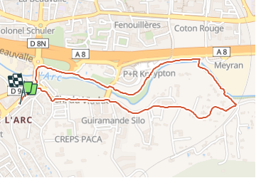
Aix en Provence val de l’Arc

MAUVAGE Patrick
User

Length
2.6 km

Max alt
148 m

Uphill gradient
21 m
Km-Effort
2.9 km

Min alt
131 m

Downhill gradient
22 m
Boucle
Yes
Creation date :
2024-01-06 15:02:07.0
Updated on :
2024-01-20 17:26:28.919
39m
Difficulty : Easy

FREE GPS app for hiking
 SityTrail
IGN / Geographical institutes
SityTrail Plus
The world is yours!
About
Trail Walking of 2.6 km to be discovered at Provence-Alpes-Côte d'Azur, Bouches-du-Rhône, Aix-en-Provence. This trail is proposed by MAUVAGE Patrick.
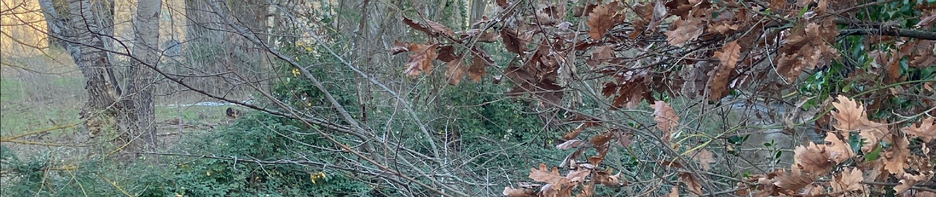
Photos

Positioning
Country:
France
Region :
Provence-Alpes-Côte d'Azur
Department/Province :
Bouches-du-Rhône
Municipality :
Aix-en-Provence
Location:
Unknown
Start:(Dec)
Start:(UTM)
697338 ; 4820302 (31T) N.
Comments