


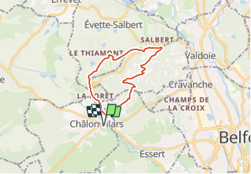
Châlonvillars - Fort du Salbert - Evette-Salbert

Bart2015
User


3h36
Difficulty : Difficult

FREE GPS app for hiking
 SityTrail
IGN / Geographical institutes
SityTrail Plus
The world is yours!
About
Trail Walking of 11 km to be discovered at Bourgogne-Franche-Comté, Haute-Saône, Châlonvillars. This trail is proposed by Bart2015.
Description
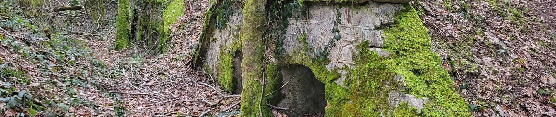
Petite randonnée sympa pour monter au Fort du Salbert et sa magnifique vue sur Belfort et ses environs. Retour par Evette-Salbert et sa vue sur les étangs du Malsaucy, la Planche des Belles Filles et le Ballon d'Alsace.
Bonne rando ...
Photos


Positioning
Comments