


2023-01-10 GIF

Lucquiaud
User
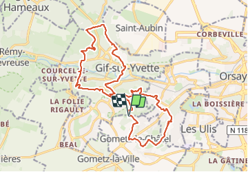

Length
19.6 km

Max alt
175 m

Uphill gradient
509 m
Km-Effort
26 km

Min alt
62 m

Downhill gradient
501 m
Boucle
Yes
Creation date :
2024-01-11 09:02:49.962
Updated on :
2024-01-11 14:33:57.926
5h30
Difficulty : Medium

FREE GPS app for hiking
 SityTrail
IGN / Geographical institutes
SityTrail Plus
The world is yours!
About
Trail Walking of 19.6 km to be discovered at Ile-de-France, Essonne, Gometz-le-Châtel. This trail is proposed by Lucquiaud.
Positioning
Country:
France
Region :
Ile-de-France
Department/Province :
Essonne
Municipality :
Gometz-le-Châtel
Location:
Unknown
Start:(Dec)
Start:(UTM)
436368 ; 5392883 (31U) N.
Comments