


Barrage

sameja
User
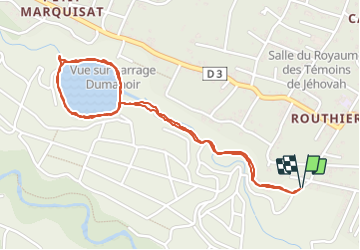

Length
5 km

Max alt
238 m

Uphill gradient
112 m
Km-Effort
6.5 km

Min alt
171 m

Downhill gradient
112 m
Boucle
Yes
Creation date :
2024-01-12 11:42:16.0
Updated on :
2024-01-12 12:48:11.077
53m
Difficulty : Medium

FREE GPS app for hiking
 SityTrail
IGN / Geographical institutes
SityTrail Plus
The world is yours!
About
Trail Trail of 5 km to be discovered at Guadeloupe, Unknown, Capesterre-Belle-Eau. This trail is proposed by sameja.
Description
Capesterre
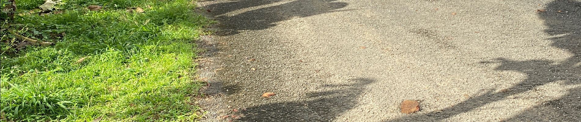
Photos


Positioning
Country:
France
Region :
Guadeloupe
Department/Province :
Unknown
Municipality :
Capesterre-Belle-Eau
Location:
Unknown
Start:(Dec)
Start:(UTM)
650048 ; 1773549 (20Q) N.
Comments