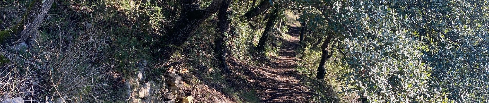
Les Aiguiéres au départ de Call

Roger Philippe Wallez
User GUIDE
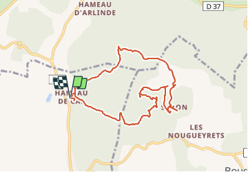

Length
10.4 km

Max alt
291 m

Uphill gradient
339 m
Km-Effort
14.9 km

Min alt
143 m

Downhill gradient
339 m
Boucle
Yes
Creation date :
2024-01-12 10:10:53.0
Updated on :
2024-01-12 14:51:05.715
4h39
Difficulty : Difficult

FREE GPS app for hiking
 SityTrail
IGN / Geographical institutes
SityTrail Plus
The world is yours!
About
Trail Walking of 10.4 km to be discovered at Occitania, Gard, Navacelles. This trail is proposed by Roger Philippe Wallez.
Photos


Positioning
Country:
France
Region :
Occitania
Department/Province :
Gard
Municipality :
Navacelles
Location:
Unknown
Start:(Dec)
Start:(UTM)
599035 ; 4892338 (31T) N.
Comments