


montés G3 2025

LouisROGER
User GUIDE
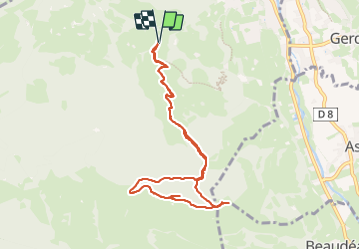

Length
9.7 km

Max alt
1253 m

Uphill gradient
554 m
Km-Effort
17.1 km

Min alt
763 m

Downhill gradient
554 m
Boucle
Yes
Creation date :
2024-01-12 08:32:23.806
Updated on :
2024-01-12 15:44:36.633
6h00
Difficulty : Difficult

FREE GPS app for hiking
 SityTrail
IGN / Geographical institutes
SityTrail Plus
The world is yours!
About
Trail Walking of 9.7 km to be discovered at Occitania, Hautespyrenees, Bagnères-de-Bigorre. This trail is proposed by LouisROGER.
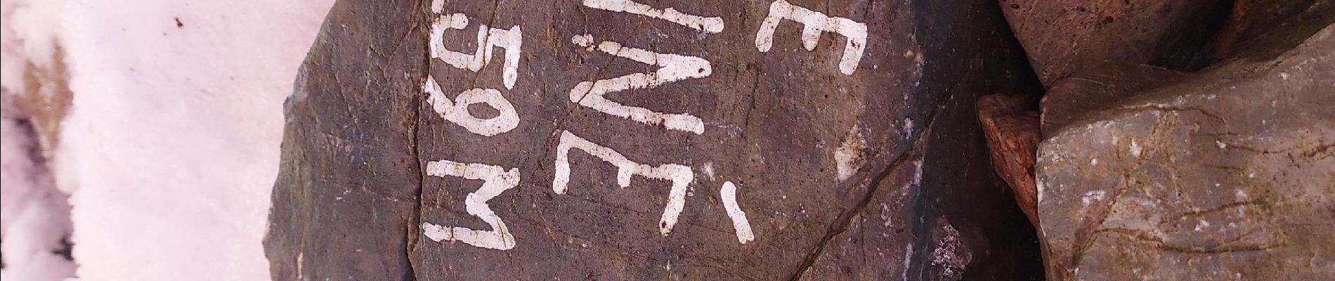
Photos

Positioning
Country:
France
Region :
Occitania
Department/Province :
Hautespyrenees
Municipality :
Bagnères-de-Bigorre
Location:
Unknown
Start:(Dec)
Start:(UTM)
266677 ; 4770872 (31T) N.
Comments