Trail Touring skiing Proveysieux - 140124 Mont Fromage - Photo
© OpenStreetMap contributors
Length
Length
8.5 km
Max alt
Max alt
1653 m
Uphill gradient
Uphill gradient
707 m
Km-Effort
Km-Effort  
18 km
Min alt
Min alt
953 m
Downhill gradient
Downhill gradient
714 m
Boucle
Boucle
Yes
Creation date :
2024-01-14 08:12:28.813
Updated on :
2024-01-14 15:43:57.226

(0 Reviews)

Touring skiing
Touring skiing
3h21
Difficulty : Easy

Scan this QR Code to open this trail in the SityTrail application

FREE GPS app for hiking

Logo SityTrail SityTrail

IGN / Geographical institutes

Download SityTrail from the App Store Download SityTrail from Google Play

Logo SityTrail SityTrail Plus

The world is yours!

Download SityTrail from the App Store Download SityTrail from Google Play Download SityTrail on Huawei AppGallery

About

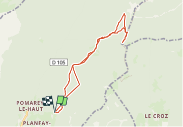
Trail Touring skiing of 8.5 km to be discovered at Auvergne-Rhône-Alpes, Isère, Proveysieux. This trail is proposed by mzonzon05.

Description

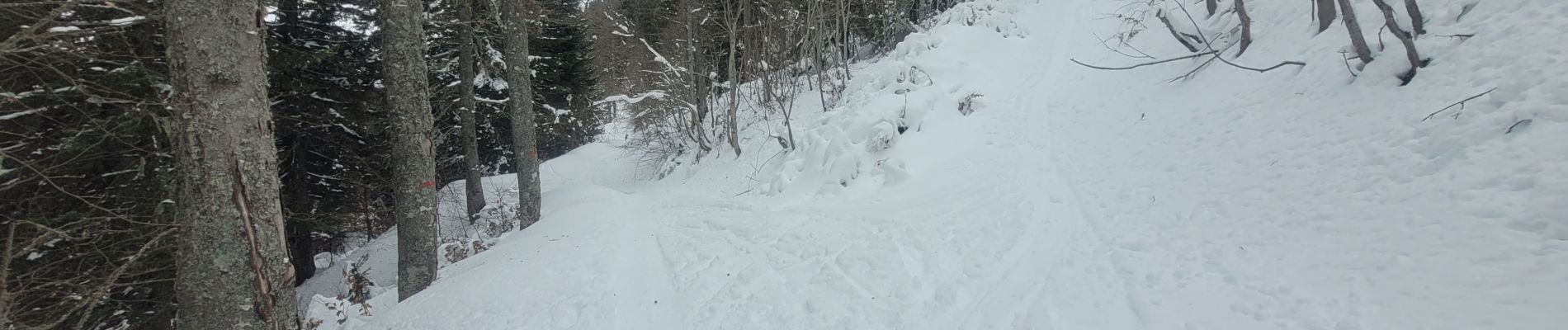
une rando facile et sympa qui peut-être faite en raquette en ski ou à pied.
Aujourd'hui gros chamois mâle.  Mais pas eu le temps de me prendre en photo !
bien regarder où l'on va a chaque croisement.

Elevation profile

Photos

Positioning

Country:
France
Region :
Auvergne-Rhône-Alpes
Department/Province :
Isère
Municipality :
Proveysieux
Location:
Unknown
Start:(UTM)
713318 ; 5017864 (31T) N.


Close
My subscriptions