


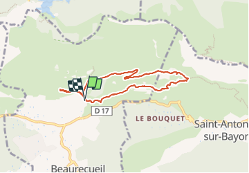
st victoire de lAurigon au refuge Cezanne

ego
User

Length
7.4 km

Max alt
455 m

Uphill gradient
249 m
Km-Effort
10.7 km

Min alt
256 m

Downhill gradient
251 m
Boucle
Yes
Creation date :
2024-01-14 12:21:56.772
Updated on :
2024-01-14 15:42:12.472
2h25
Difficulty : Medium

FREE GPS app for hiking
 SityTrail
IGN / Geographical institutes
SityTrail Plus
The world is yours!
About
Trail Walking of 7.4 km to be discovered at Provence-Alpes-Côte d'Azur, Bouches-du-Rhône, Beaurecueil. This trail is proposed by ego .
Positioning
Country:
France
Region :
Provence-Alpes-Côte d'Azur
Department/Province :
Bouches-du-Rhône
Municipality :
Beaurecueil
Location:
Unknown
Start:(Dec)
Start:(UTM)
705857 ; 4822188 (31T) N.
Comments