


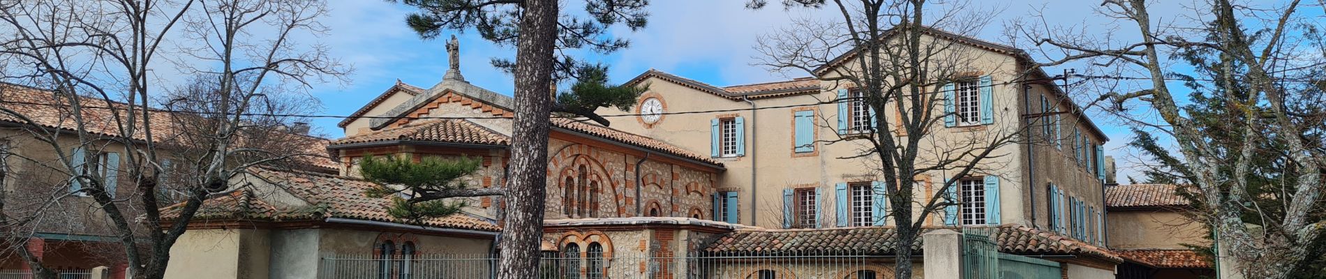
grotte M Madeleine et Huveaunne

cdanielrando
User
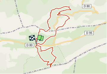

Length
12.4 km

Max alt
982 m

Uphill gradient
608 m
Km-Effort
20 km

Min alt
449 m

Downhill gradient
606 m
Boucle
Yes
Creation date :
2024-01-16 08:49:20.146
Updated on :
2024-01-16 13:08:49.572
4h18
Difficulty : Very difficult

FREE GPS app for hiking
 SityTrail
IGN / Geographical institutes
SityTrail Plus
The world is yours!
About
Trail Walking of 12.4 km to be discovered at Provence-Alpes-Côte d'Azur, Var, Plan-d'Aups-Sainte-Baume. This trail is proposed by cdanielrando.
Photos


Positioning
Country:
France
Region :
Provence-Alpes-Côte d'Azur
Department/Province :
Var
Municipality :
Plan-d'Aups-Sainte-Baume
Location:
Unknown
Start:(Dec)
Start:(UTM)
723425 ; 4801836 (31T) N.
Comments