


z la bonne eau 16-01-24

cb8310
User


Length
4.6 km

Max alt
96 m

Uphill gradient
65 m
Km-Effort
5.5 km

Min alt
49 m

Downhill gradient
63 m
Boucle
Yes
Creation date :
2024-01-16 12:55:20.8
Updated on :
2024-01-17 07:47:32.442
1h48
Difficulty : Easy

FREE GPS app for hiking
 SityTrail
IGN / Geographical institutes
SityTrail Plus
The world is yours!
About
Trail Walking of 4.6 km to be discovered at Provence-Alpes-Côte d'Azur, Var, Roquebrune-sur-Argens. This trail is proposed by cb8310.
Description
parcours sans réelles difficultés à part un petit raidillon caillouteux à mi-chemin
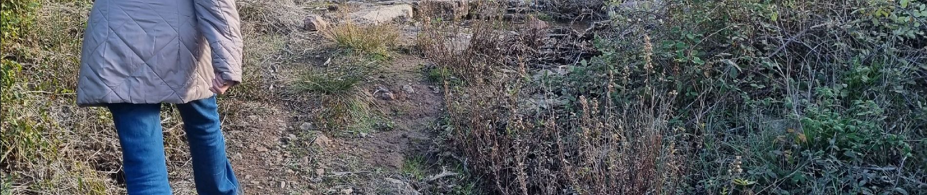
Photos


Positioning
Country:
France
Region :
Provence-Alpes-Côte d'Azur
Department/Province :
Var
Municipality :
Roquebrune-sur-Argens
Location:
Unknown
Start:(Dec)
Start:(UTM)
307392 ; 4815698 (32T) N.
Comments