


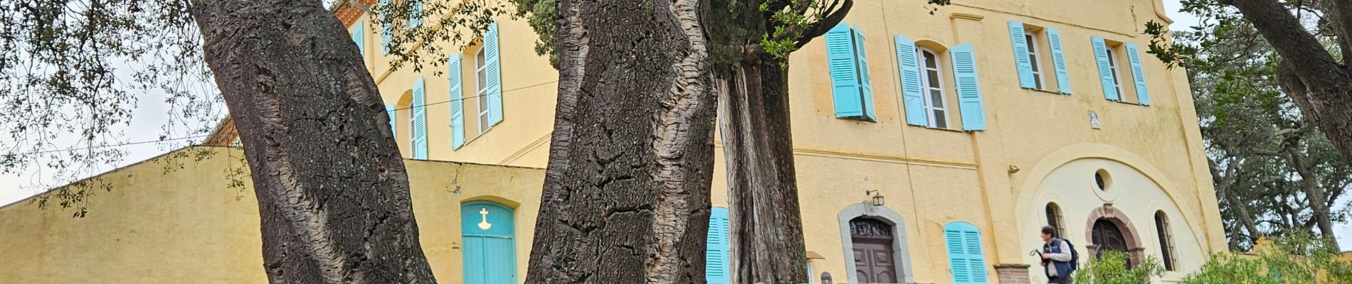
Roquebrune sur argent, 3 Croix

GrouGary
User
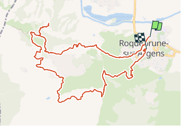

Length
14.8 km

Max alt
320 m

Uphill gradient
551 m
Km-Effort
22 km

Min alt
12 m

Downhill gradient
524 m
Boucle
No
Creation date :
2024-01-19 08:19:07.826
Updated on :
2024-01-27 08:30:40.132
6h19
Difficulty : Medium

FREE GPS app for hiking
 SityTrail
IGN / Geographical institutes
SityTrail Plus
The world is yours!
About
Trail Walking of 14.8 km to be discovered at Provence-Alpes-Côte d'Azur, Var, Roquebrune-sur-Argens. This trail is proposed by GrouGary.
Description
Une inattention...oubli de passer près des Arches de l'Aqueduc Romain...
La montée au rocher est très sécurisée.
Photos


Positioning
Country:
France
Region :
Provence-Alpes-Côte d'Azur
Department/Province :
Var
Municipality :
Roquebrune-sur-Argens
Location:
Unknown
Start:(Dec)
Start:(UTM)
308907 ; 4813051 (32T) N.
Comments