


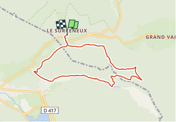
SURCENEUX COL DES CHARBONNIERS

surceneux
User

Length
8.1 km

Max alt
939 m

Uphill gradient
228 m
Km-Effort
11.1 km

Min alt
764 m

Downhill gradient
228 m
Boucle
Yes
Creation date :
2024-01-20 13:54:46.159
Updated on :
2024-01-20 15:49:22.324
1h35
Difficulty : Easy

FREE GPS app for hiking
 SityTrail
IGN / Geographical institutes
SityTrail Plus
The world is yours!
About
Trail Walking of 8.1 km to be discovered at Grand Est, Vosges, Ban-sur-Meurthe-Clefcy. This trail is proposed by surceneux.
Description
SURCENEUX IRENEE DUVOID (COL DES CHARBONNIERS) CHEMIN DU MILIEU CASUETTE FEU ETANG BELBRIETTE MONTEE DES BROCHES TRAVERSE JDS SURCENEUX
Positioning
Country:
France
Region :
Grand Est
Department/Province :
Vosges
Municipality :
Ban-sur-Meurthe-Clefcy
Location:
Unknown
Start:(Dec)
Start:(UTM)
347835 ; 5329043 (32U) N.
Comments