


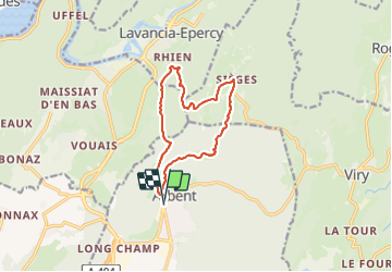
Arbent-Sieges-Rhien

HB01
User

Length
12.3 km

Max alt
748 m

Uphill gradient
414 m
Km-Effort
17.8 km

Min alt
390 m

Downhill gradient
414 m
Boucle
Yes
Creation date :
2024-01-25 09:18:22.531
Updated on :
2024-01-25 16:04:45.53
3h25
Difficulty : Medium

FREE GPS app for hiking
 SityTrail
IGN / Geographical institutes
SityTrail Plus
The world is yours!
About
Trail Walking of 12.3 km to be discovered at Auvergne-Rhône-Alpes, Ain, Arbent. This trail is proposed by HB01.
Description
Départ Arbent
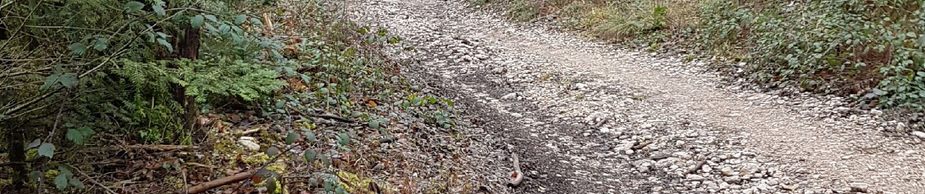
Photos

Positioning
Country:
France
Region :
Auvergne-Rhône-Alpes
Department/Province :
Ain
Municipality :
Arbent
Location:
Unknown
Start:(Dec)
Start:(UTM)
706215 ; 5130048 (31T) N.
Comments