


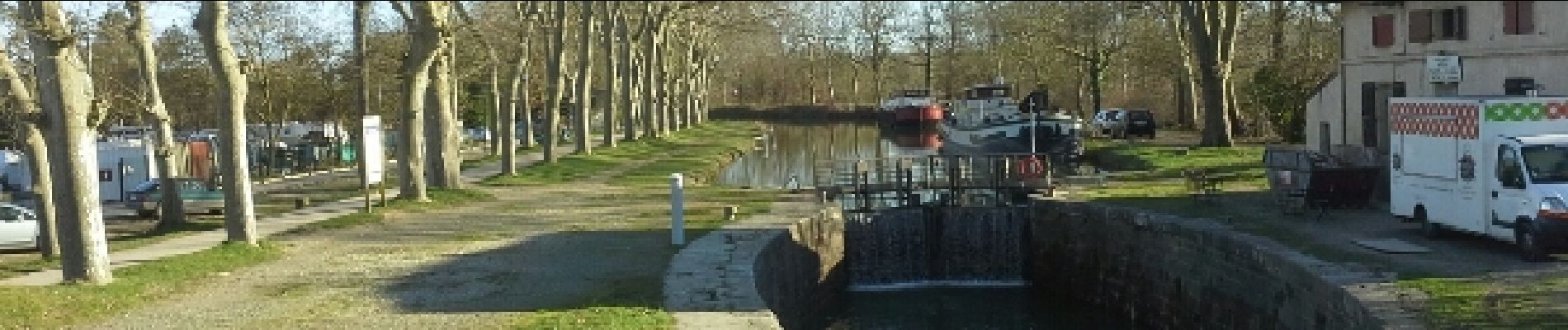
boucle Castanet Mervilla Gr653 Donneville canal

RR31
User
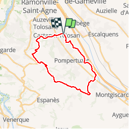

Length
27 km

Max alt
280 m

Uphill gradient
428 m
Km-Effort
32 km

Min alt
147 m

Downhill gradient
426 m
Boucle
Yes
Creation date :
2015-03-06 00:00:00.0
Updated on :
2015-03-06 00:00:00.0
7h11
Difficulty : Medium

FREE GPS app for hiking
 SityTrail
IGN / Geographical institutes
SityTrail Plus
The world is yours!
About
Trail Walking of 27 km to be discovered at Occitania, Haute-Garonne, Castanet-Tolosan. This trail is proposed by RR31.
Photos


Positioning
Country:
France
Region :
Occitania
Department/Province :
Haute-Garonne
Municipality :
Castanet-Tolosan
Location:
Unknown
Start:(Dec)
Start:(UTM)
379383 ; 4819434 (31T) N.
Comments